Exploring the Superior Hiking Trail: A Comprehensive Guide to the SHT Map
The Superior Hiking Trail (SHT) is a breathtaking 310-mile footpath that traverses the rugged and scenic wilderness of northeastern Minnesota along the north shore of Lake Superior. This trail offers an unparalleled hiking experience with its diverse landscapes, stunning vistas, and challenging terrain. Whether you’re a seasoned backpacker or a casual day hiker, understanding the Superior Hiking Trail map is essential for navigating and enjoying this incredible trail.
Overview of the Superior Hiking Trail
Stretching from Jay Cooke State Park near Duluth to the Canadian border, the Superior Hiking Trail winds through a variety of landscapes, including boreal forests, rocky ridges, serene river valleys, and pristine lakes. The trail is divided into 52 sections, each ranging from 1.5 to 17 miles in length, making it accessible for hikers of all skill levels and time constraints.
The SHT is maintained by the Superior Hiking Trail Association (SHTA), a non-profit organization dedicated to building, maintaining, and promoting the trail. Thanks to their efforts, the trail is well-marked with blue blazes and has numerous campsites, trailheads, and access points along its route.
Understanding the Superior Hiking Trail Map
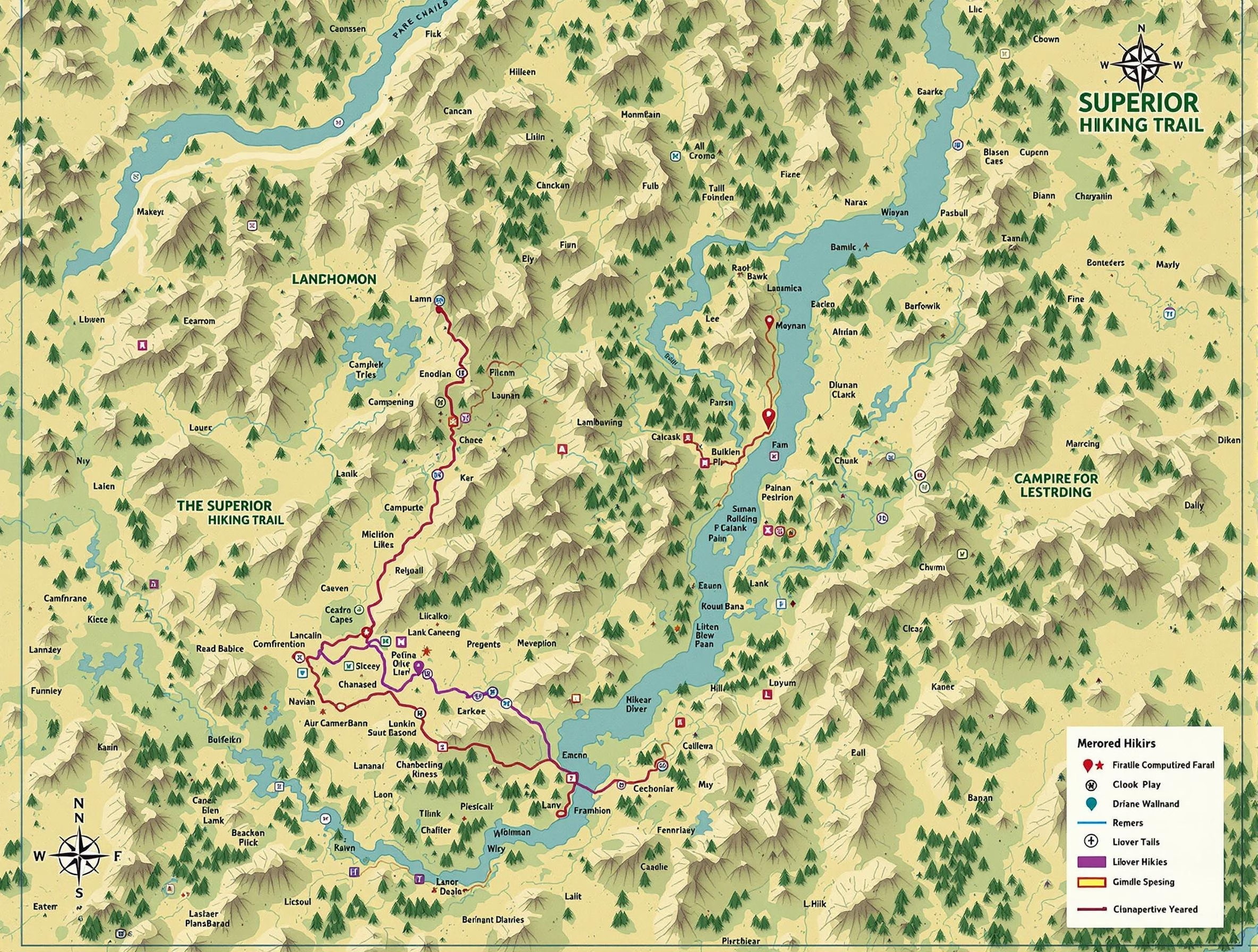
The Superior Hiking Trail map is an indispensable resource for anyone planning to hike the SHT. The map provides detailed information about the trail, including elevation profiles, distances between points of interest, and the locations of campsites, water sources, and trailheads.
Trail Sections
The SHT map divides the trail into 52 sections, each with its own unique characteristics and challenges. Some sections are relatively short and easy, making them perfect for day hikes, while others are longer and more strenuous, requiring overnight camping. By familiarizing yourself with the different sections, you can plan your hike according to your time constraints, fitness level, and desired experience.
Elevation Profiles
The map includes elevation profiles for each section of the trail, allowing you to gauge the difficulty of the terrain and plan your hike accordingly. The elevation profiles show the highest and lowest points of each section, as well as the cumulative elevation gain and loss. This information is crucial for estimating the time and effort required to complete each section and for deciding where to take breaks or set up camp.
Campsites and Water Sources
The Superior Hiking Trail map also marks the locations of designated campsites and water sources along the trail. Campsites are typically spaced every 5-10 miles and offer a flat area for pitching a tent, a fire ring, and a backcountry latrine. Water sources, such as streams, rivers, and lakes, are essential for staying hydrated during your hike. By planning your route around these resources, you can ensure a comfortable and safe hiking experience.
Trailheads and Access Points
The map identifies the various trailheads and access points along the SHT, making it easy to plan your entry and exit points. Trailheads often have parking areas and are located near major roads or state parks, while access points are smaller entry points that may require a short hike to reach the main trail. By familiarizing yourself with these locations, you can plan your transportation and logistics more effectively.
Planning Your Hike with the Superior Hiking Trail Map
Now that you understand the key features of the Superior Hiking Trail map, it’s time to start planning your hike. Here are some steps to follow:
1. Determine Your Hiking Goals
Before diving into the map, consider your hiking goals. Are you looking for a short day hike, a multi-day backpacking trip, or a thru-hike of the entire trail? Your goals will influence which sections of the trail you focus on and how you plan your route.
2. Assess Your Fitness Level and Experience
Be honest about your fitness level and hiking experience when planning your hike. The Superior Hiking Trail can be challenging, with steep ascents, rocky terrain, and variable weather conditions. Choose sections that match your abilities and gradually work your way up to more difficult hikes as you gain experience.
3. Study the Map and Plan Your Route
Using the Superior Hiking Trail map, plan your route based on your goals, fitness level, and the time you have available. Pay attention to the distances between campsites, water sources, and trailheads, and make sure to factor in time for rest breaks and meals. Consider the elevation profiles of each section and plan your daily mileage accordingly.
4. Prepare Your Gear and Supplies
Once you have your route planned, make a list of the gear and supplies you’ll need for your hike. This may include a tent, sleeping bag, backpack, hiking boots, food, water, and safety equipment. Make sure to pack appropriate clothing for the season and be prepared for variable weather conditions.
5. Share Your Plans and Stay Safe
Always let someone know your hiking plans, including your route, expected return date, and any emergency contact information. Carry a copy of the Superior Hiking Trail map with you, along with a compass or GPS device, and know how to use them. Stay on the marked trail, follow Leave No Trace principles, and be prepared for emergencies.
Experiencing the Beauty of the Superior Hiking Trail
With your hike planned and your gear ready, it’s time to embark on your adventure along the Superior Hiking Trail. As you navigate the trail using your map, take the time to appreciate the stunning beauty of the surrounding landscape.
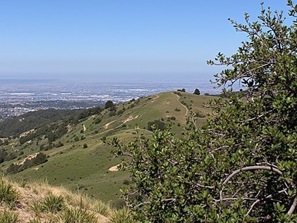
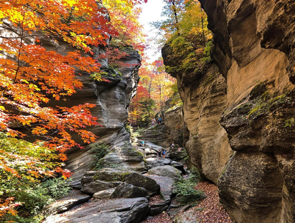
Marvel at the rugged cliffs and expansive vistas along the north shore of Lake Superior, where the trail often runs parallel to the coastline. Traverse through dense forests of maple, birch, and pine, where the silence is broken only by the rustling of leaves and the occasional bird call.
Discover hidden waterfalls and crystal-clear streams as you hike through river valleys, and take a refreshing dip in the cool waters of Lake Superior at one of the many beach access points along the trail.
As you journey along the SHT, you’ll also have the opportunity to observe a variety of wildlife, including bald eagles, peregrine falcons, moose, deer, and black bears. Remember to keep a safe distance and respect their habitat.
The Superior Hiking Trail offers a truly immersive wilderness experience, allowing you to disconnect from the stresses of modern life and reconnect with nature. Whether you’re seeking solitude, adventure, or a physical challenge, the SHT has something to offer every hiker.
Conclusion
The Superior Hiking Trail map is an essential tool for anyone looking to explore this incredible footpath in northeastern Minnesota. By understanding the map’s features and using it to plan your hike, you can ensure a safe, enjoyable, and rewarding experience on the trail.
Remember to always prioritize safety, respect the environment, and embrace the challenges and beauty of the wilderness. With the Superior Hiking Trail map as your guide, you’re ready to embark on an unforgettable adventure along one of the most stunning hiking trails in the United States.


